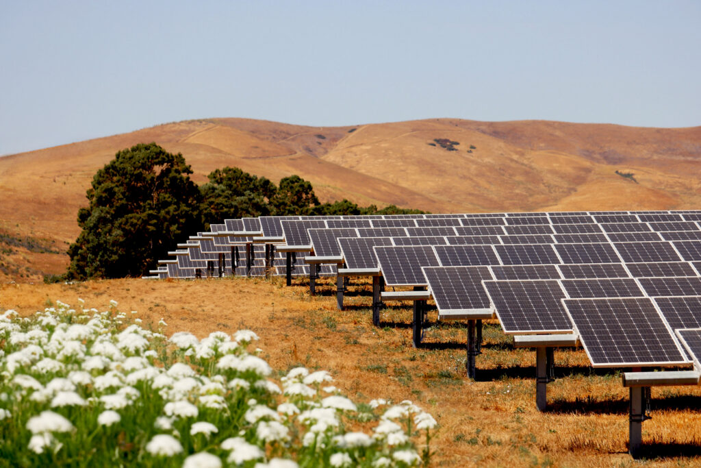
The introduction of terrain-following trackers changed the game for ground-mounted solar projects.
By adapting to natural site contours, terrain-following trackers eliminate or reduce the need for grading and shorten civil schedules. These trackers have also expanded access to land previously considered unusable for solar projects.
While they simplify what happens before steel hits the ground, terrain-following trackers introduce new complexities during mechanical construction that shouldn’t be underestimated. Accurate terrain data is more essential than ever to keep solar construction projects on schedule.
Hidden site challenges
 Terrain-following designs require incredibly accurate topographic information. Small discrepancies in elevation, slope or transition points can turn into major issues down the road. Incorrect solar pile post lengths and embed depths could require field rework or redesign, row-to-row clearance problems could create shading risk or tracker interference, and unexpected foundation issues could cause pile refusals.
These are not theoretical risks. They manifest as RFIs, change orders, schedule issues and margin erosion. Preconstruction diligence can ensure the topographic data matches the actual site conditions when mechanical construction begins.
The solution
Gathering and analyzing terrain data using drones and survey software doesn’t take a lot of time, but it is essential for confirming key design parameters that make the difference between clean execution and in-field troubleshooting. Verifying pile heights, in particular, ensures that the correct pile lengths and reveal windows (amount of pile visible above-ground) are planned for installation day.
These services can be useful even with graded sites. Grading is an imperfect science, and machines can only get so precise when following a civil plan. Assessing the ground post-grade offers peace of mind and the best possible pile-driving accuracy.
But pile height verification is all the more crucial with terrain-following systems.
Read the full story on solarbuildermag.com.
To request Ampacity pile verification services, reach out to Daniel Jencka or your dedicated sales representative.